September 11, 2022 - Maine Foliage Flight
Millinocket to Houlton
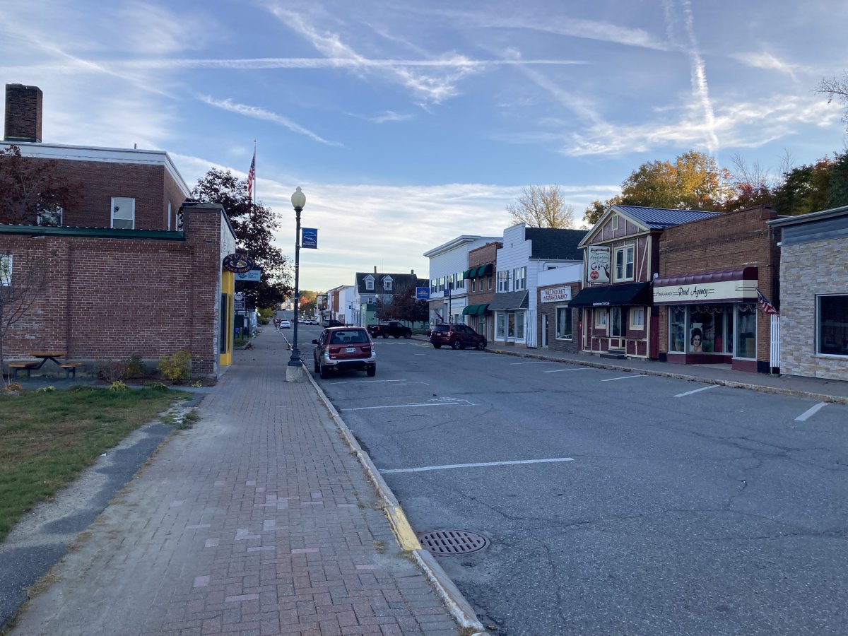
On the ground, I talked with Jeff Campbell the friendly Airport Manager at Millnocket and got the gouge. I knew going in there was no courtesy car so I had made a reservation at a motel within walking distance of the airport. They used to have rental cars, but Covid. From Jeff I learned that big Katahdin Mountain is the end of the Appalachian Trail, and drives a lot of the airport business. I learned that for a long time Millinocket's main employer was a paper mill but it closed in 2008. It's a nice, friendly airport, always manned during working hours, self-service fuel, pilot supplies in the FBO building, a pilot lounge, food and lodging within walking distance.
Millinocket was first settled in 1829 by Betsy and Thomas Fowler and their family, who cleared land for a farm. When the Bangor and Aroostook Railroad extended service to Houlton in 1894, the line ran through the area, opening it to development.
Charles W. Mullen, an engineering graduate from the University of Maine, proposed a hydroelectric dam on the Penobscot River. He recognized the falls as an ideal water power source to operate a large pulp and paper mill. Mullen contacted Garret Schenck, vice-president of the International Paper mill at Rumford Falls and an expert in the industry, about building a pulp and paper mill near the dam. Mr. Schenck agreed, and set about obtaining the necessary financial backing.
After securing land rights, the chosen site was at the junction of the West Branch of the Penobscot River and Millinocket Stream, where it stands today. Things moved quickly, and on May 15, 1899, construction began on the new Great Northern Paper Company paper mill. As the location was not near existing towns, it became necessary to build one. Millinocket, meaning "the land of many islands" after all the islands in the Penobscot River, was incorporated on March 16, 1901.
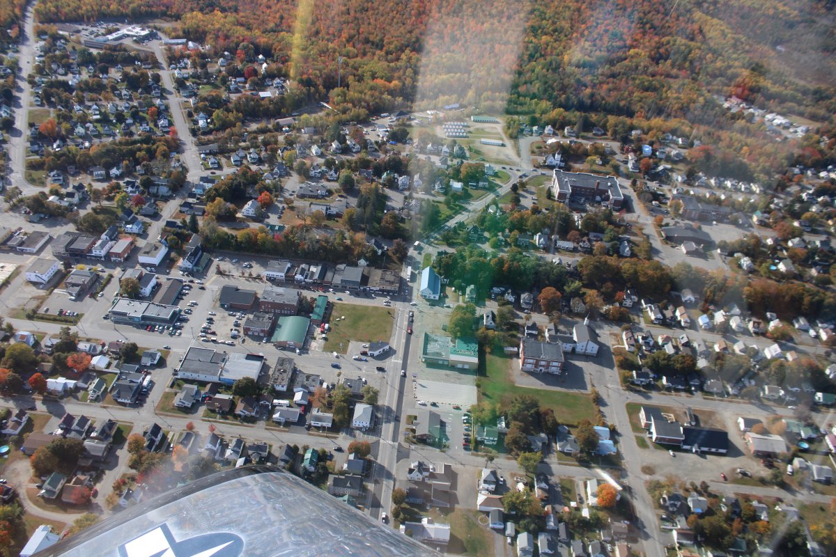
Throughout the 20th century, the community prospered. It developed a reputation as a small but successful rural town, mostly due to the paper industry, but also to its proximity to Katahdin, Maine's tallest mountain, and Moosehead Lake, Maine's largest lake. Millinocket's population peaked in the 1970s at 7,700 then began to decline. The paper company closed in 2008. The population was 4,114 at the 2020 census.
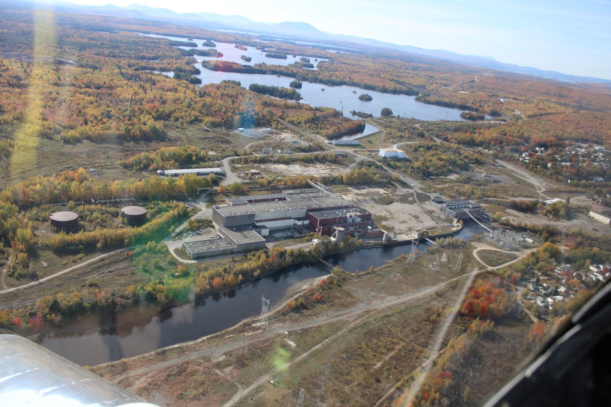
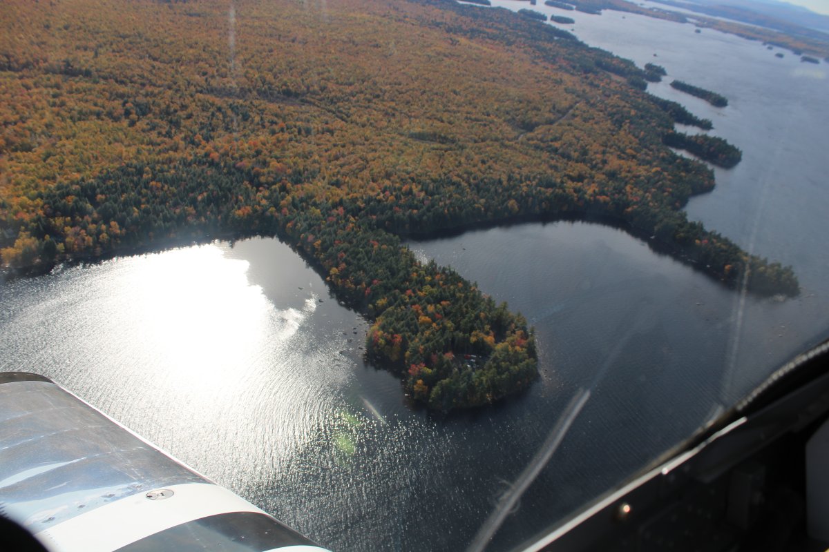
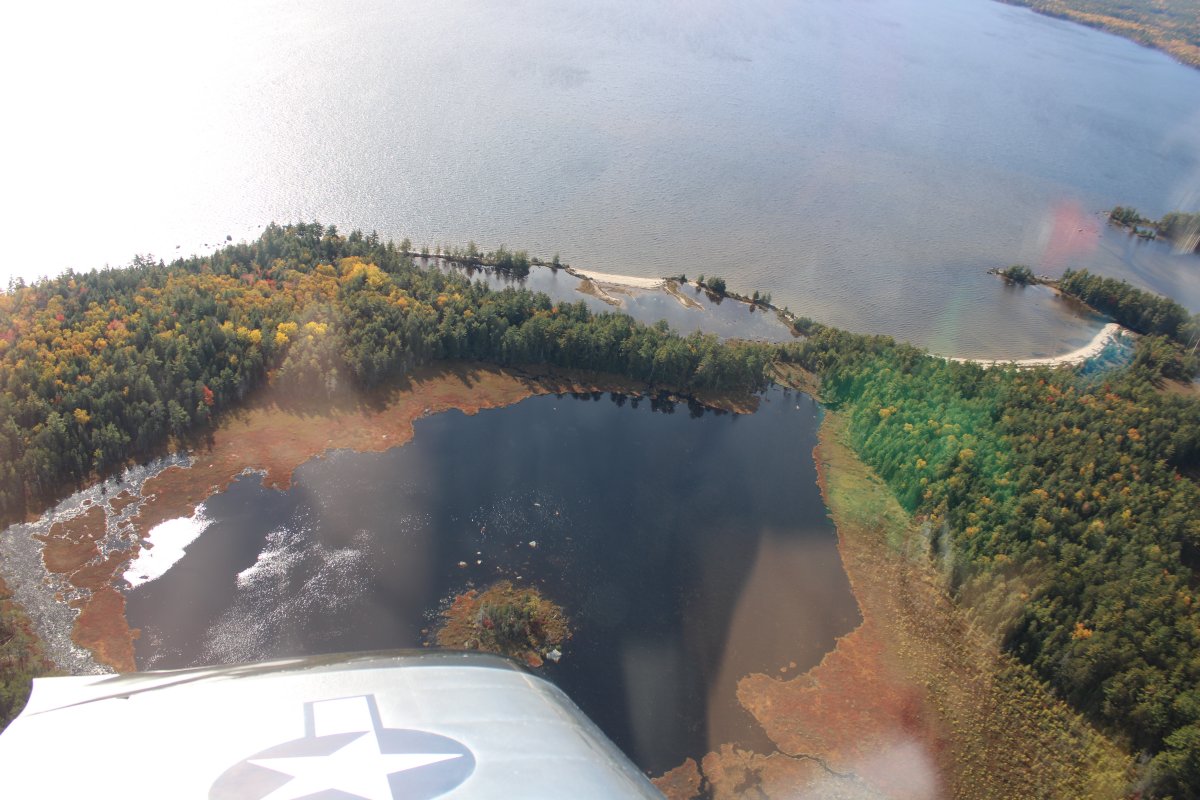
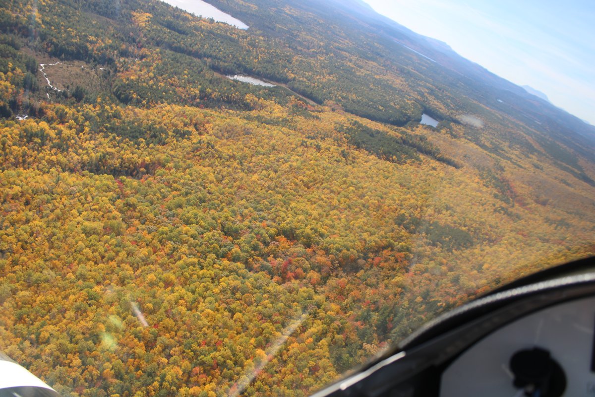
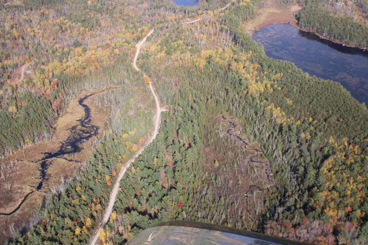
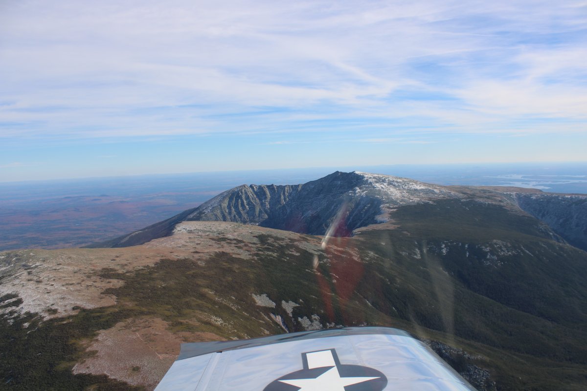
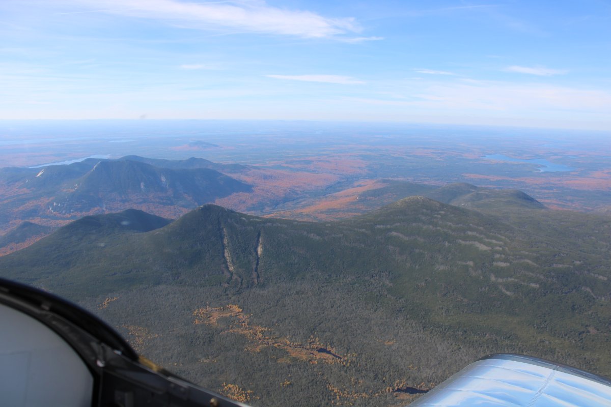
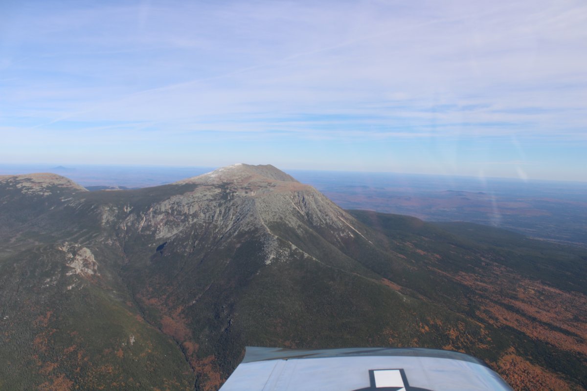
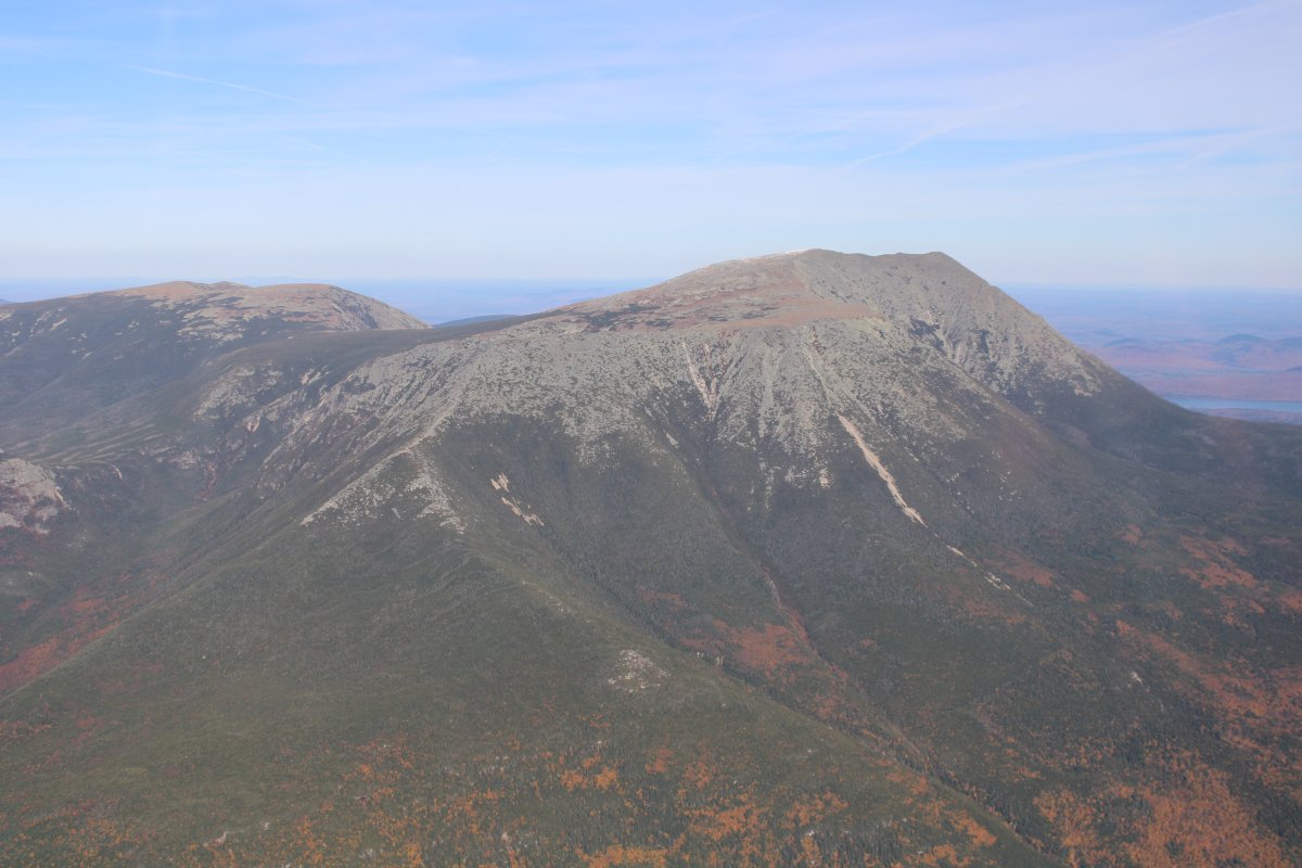
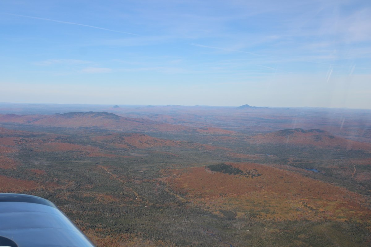
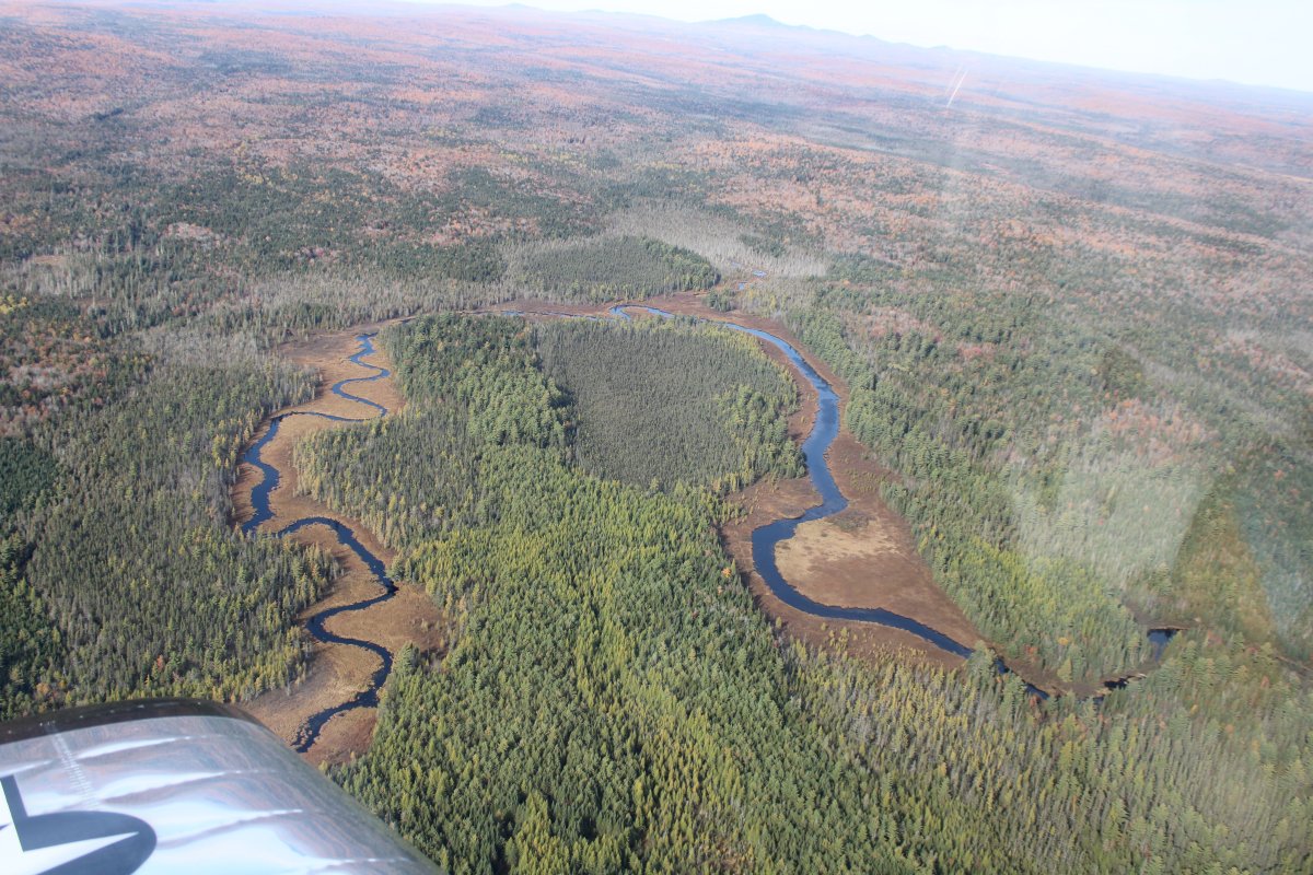
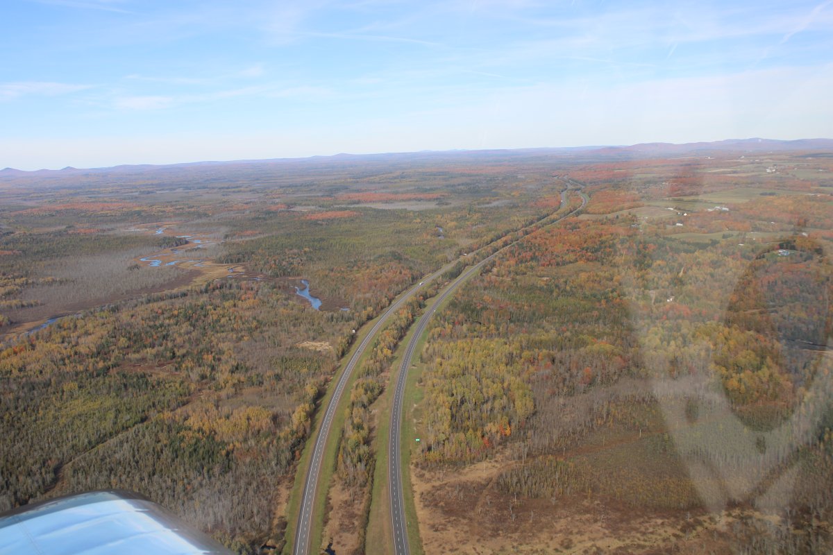
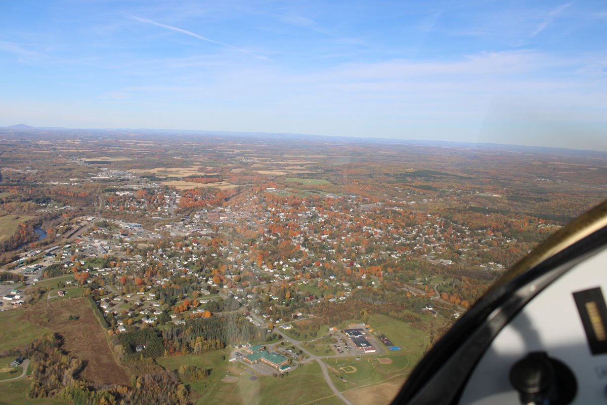
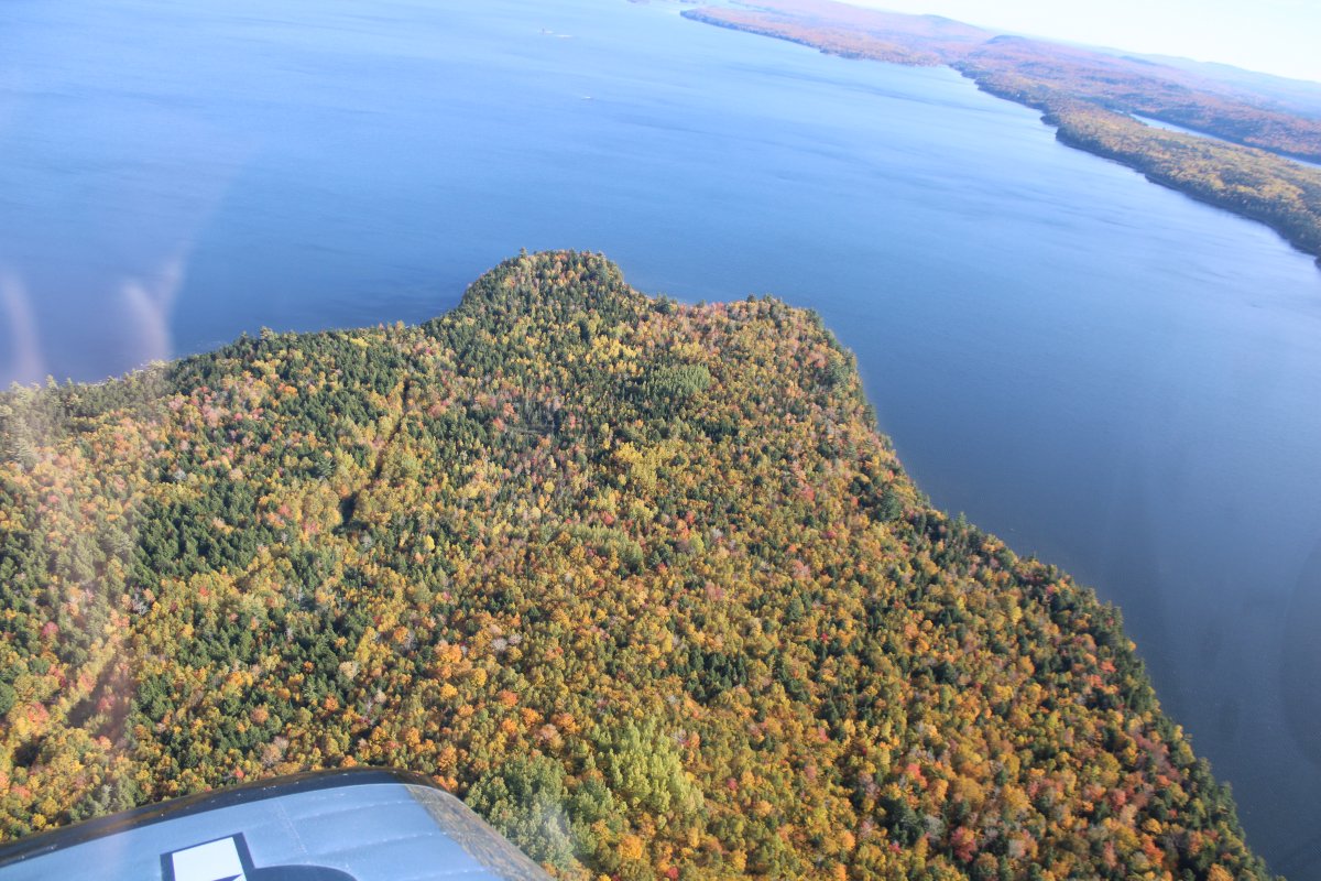
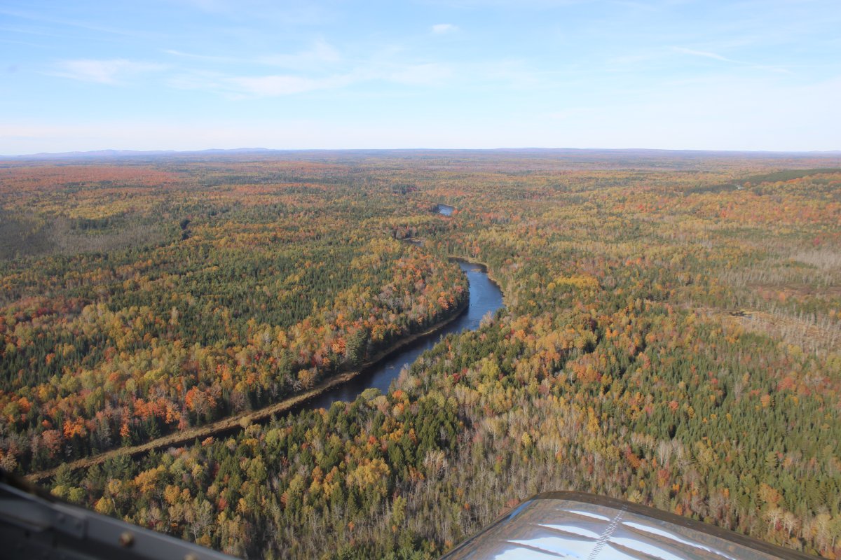
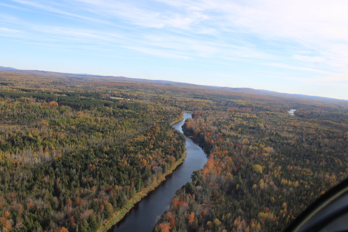
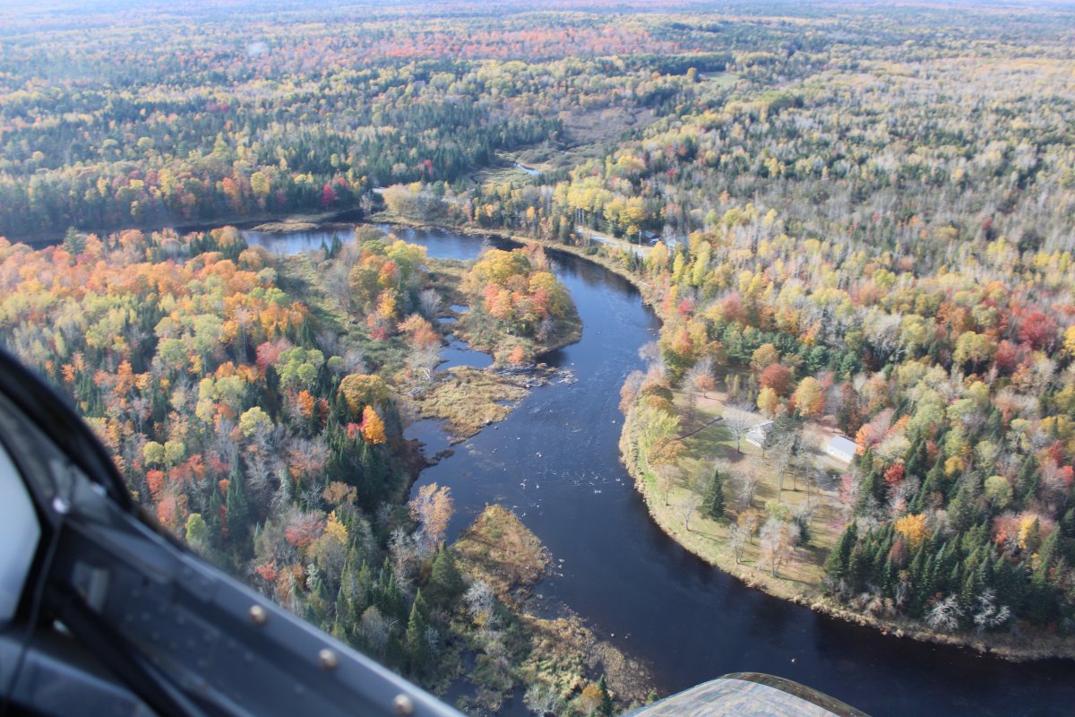
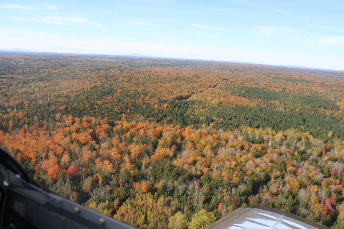
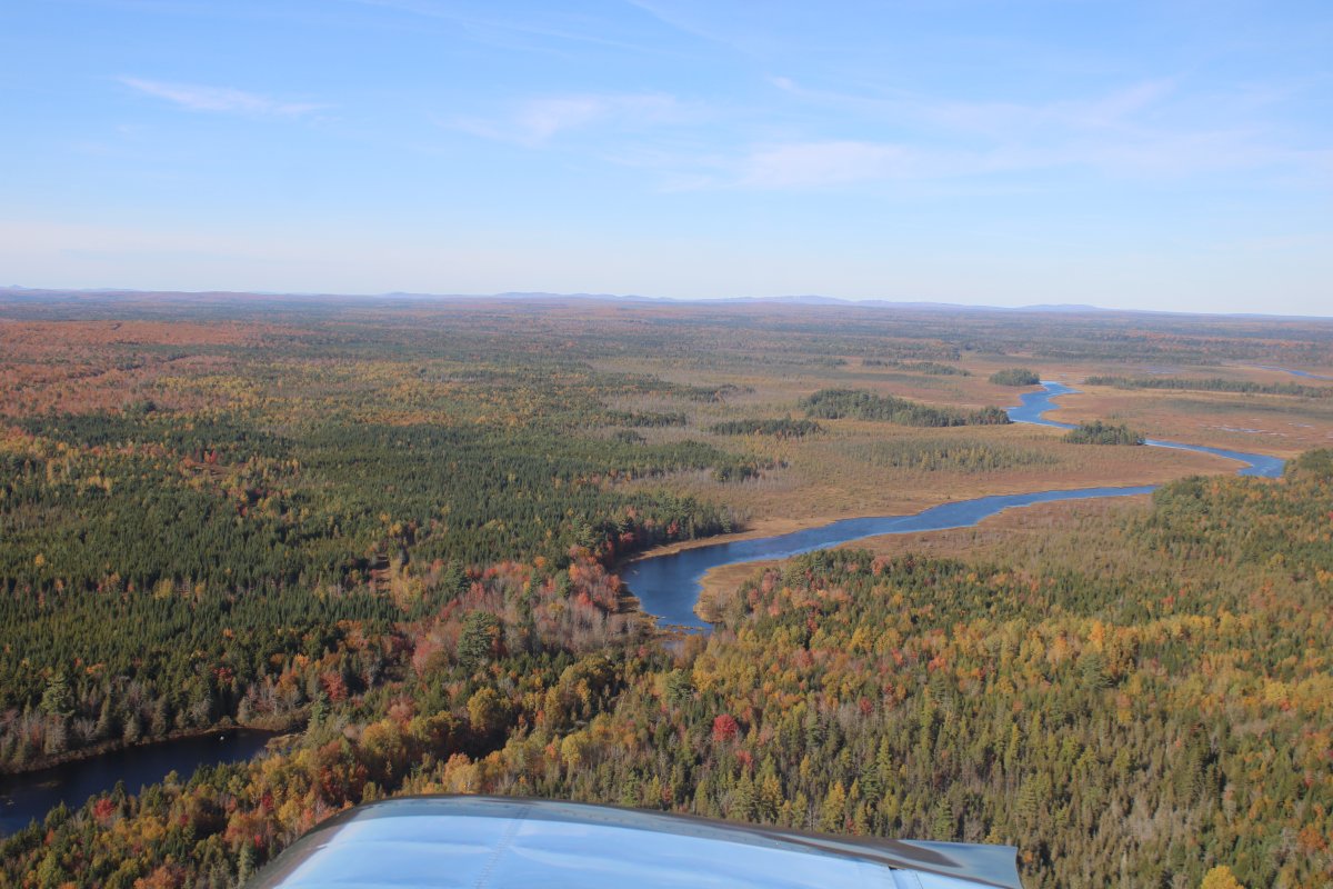
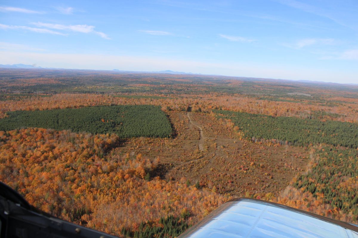
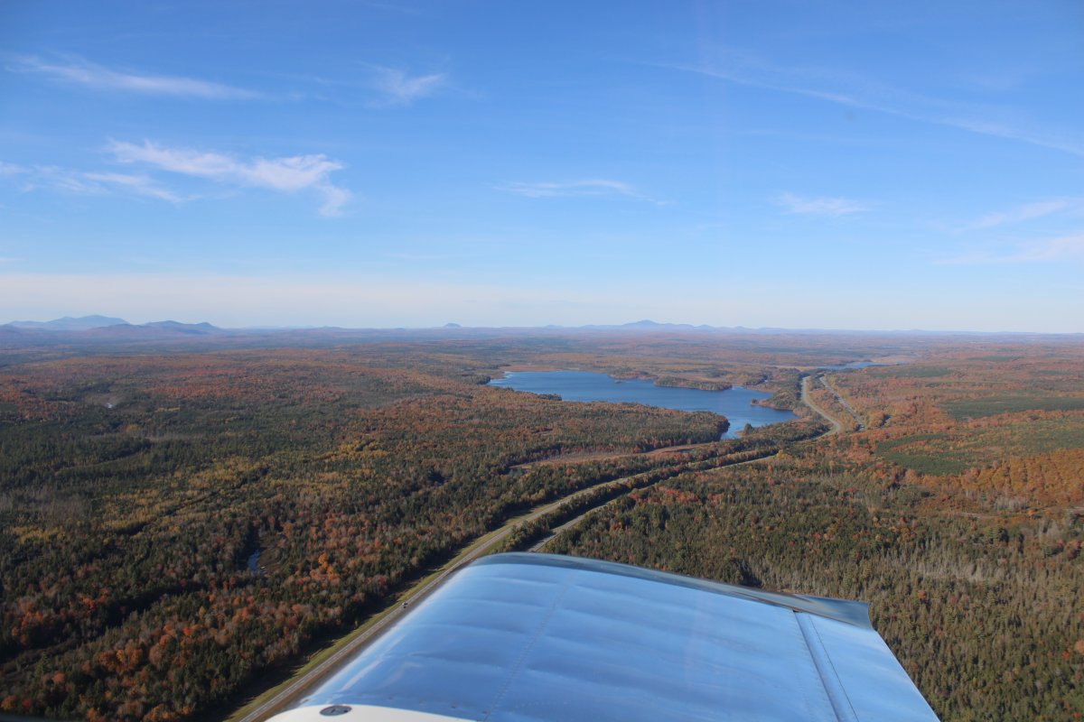
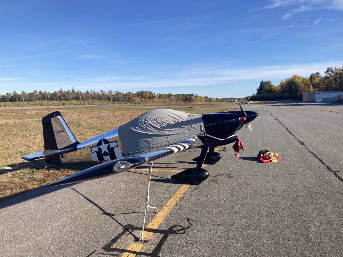
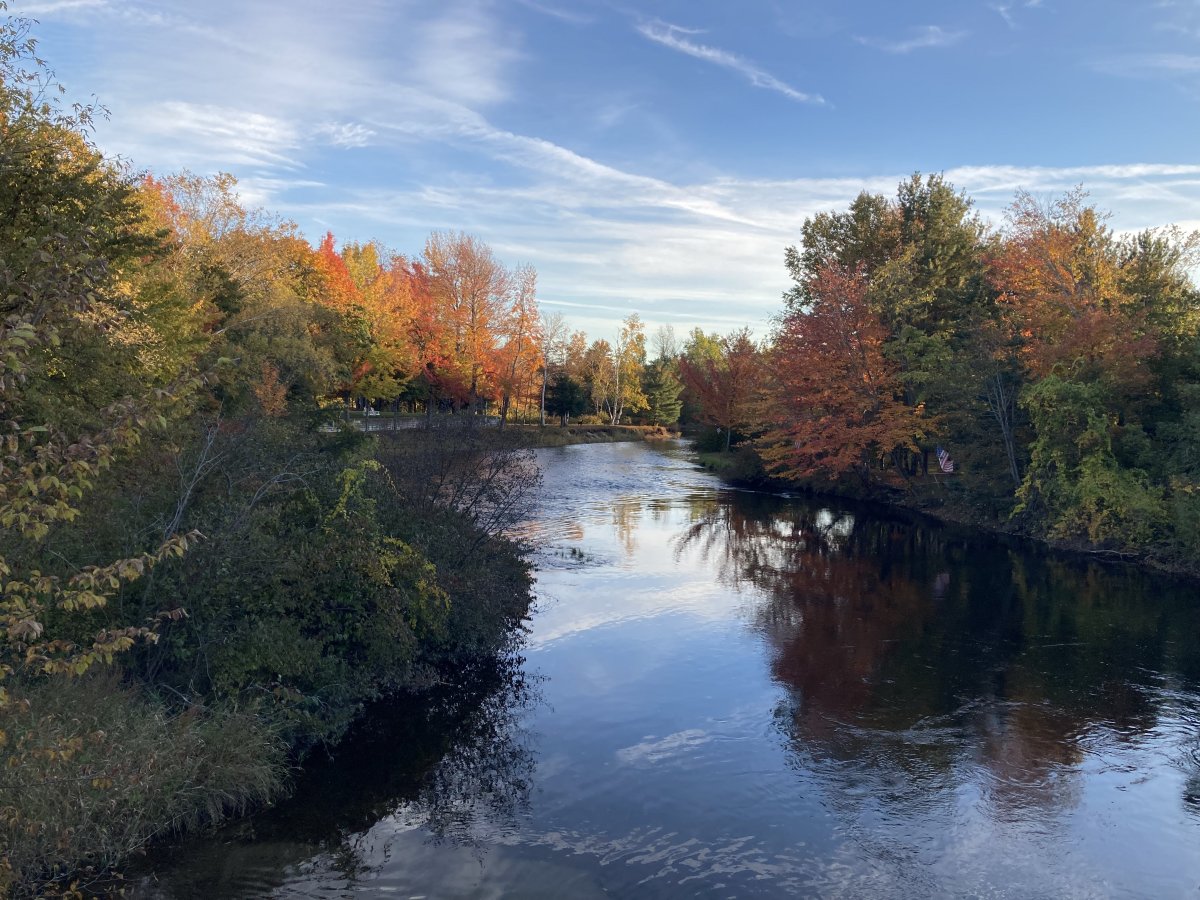
It was still early afternoon, so I had time for a sight-seeing flight. I topped off at the self-service pump then I took off and right away I saw the now-closed paper mill.
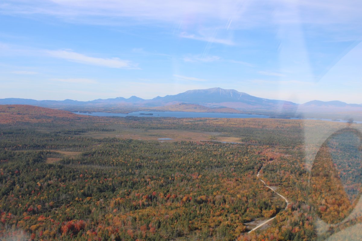
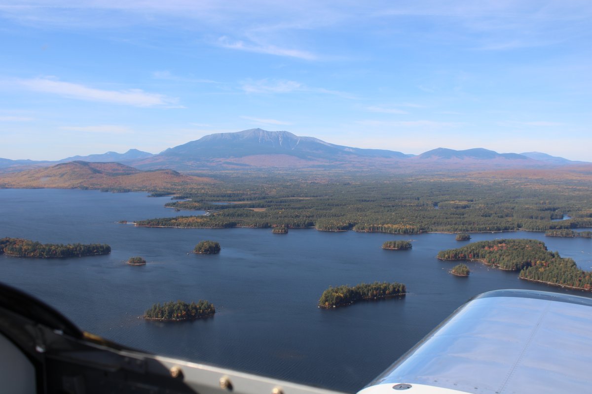
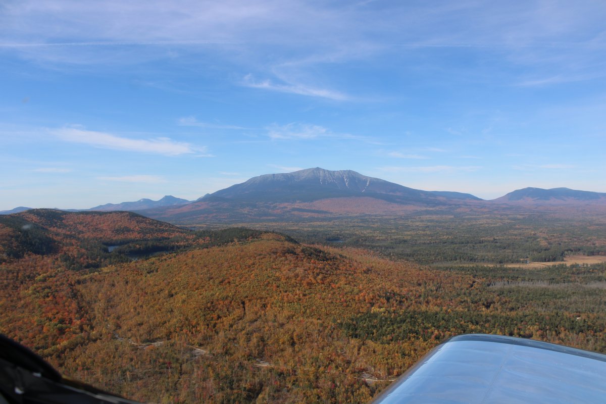
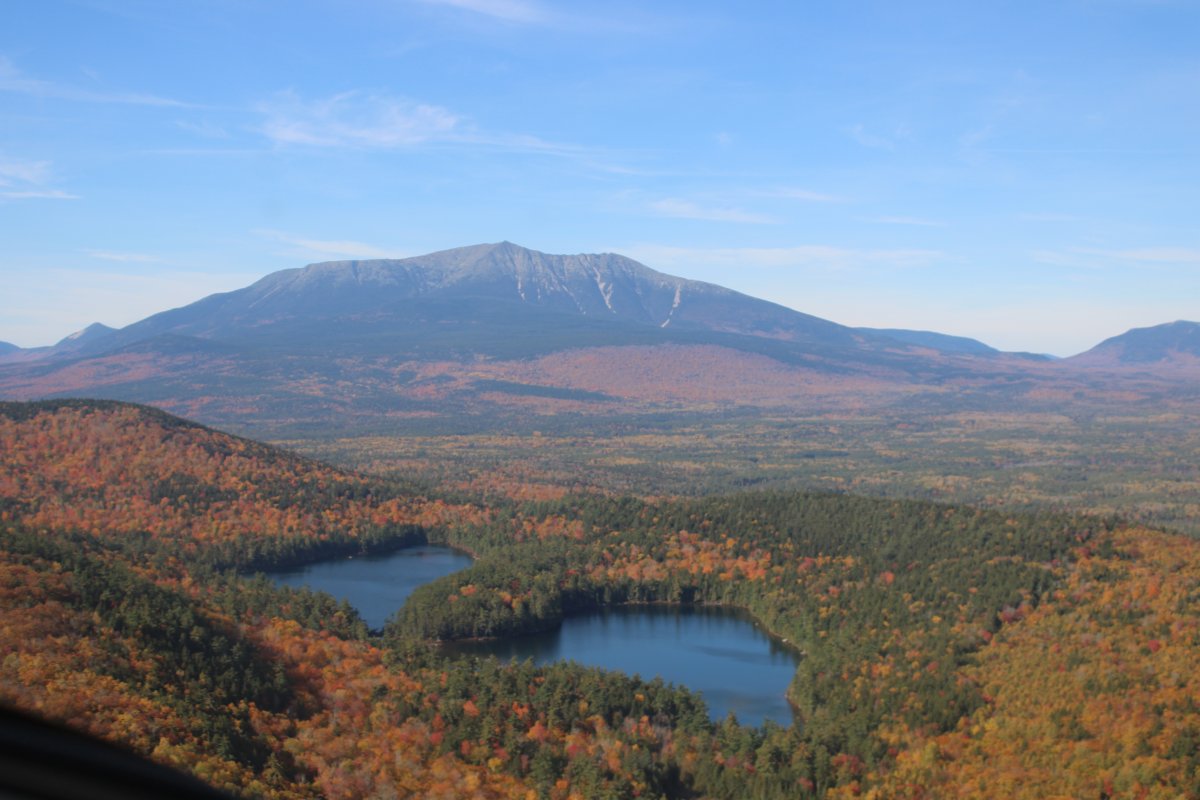
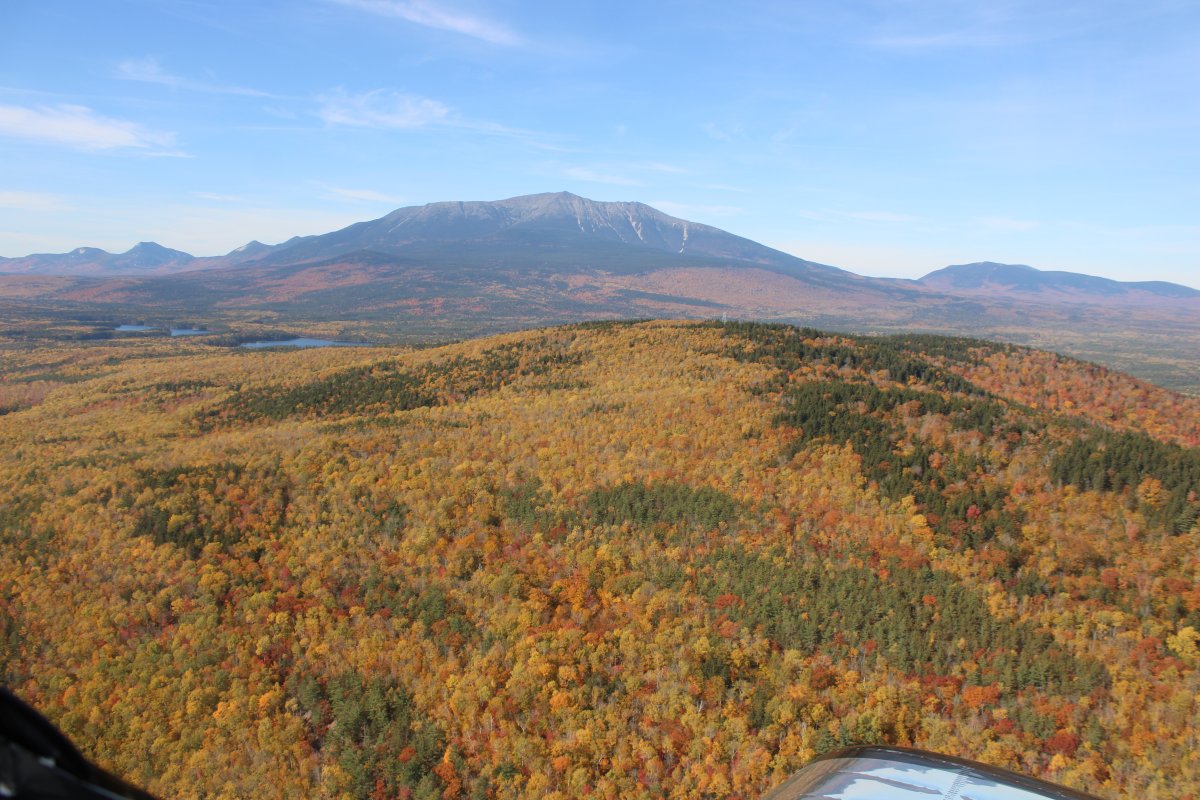
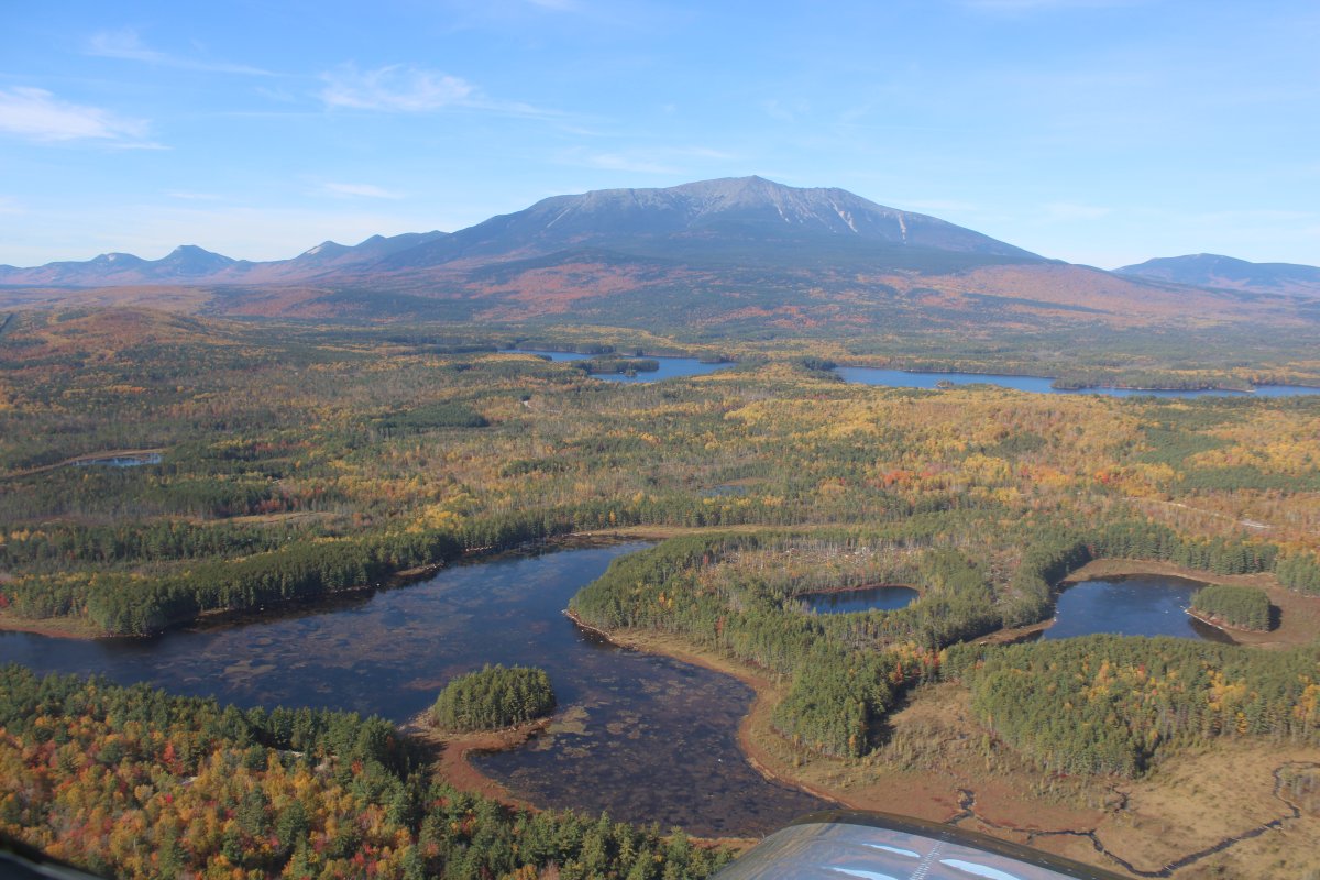
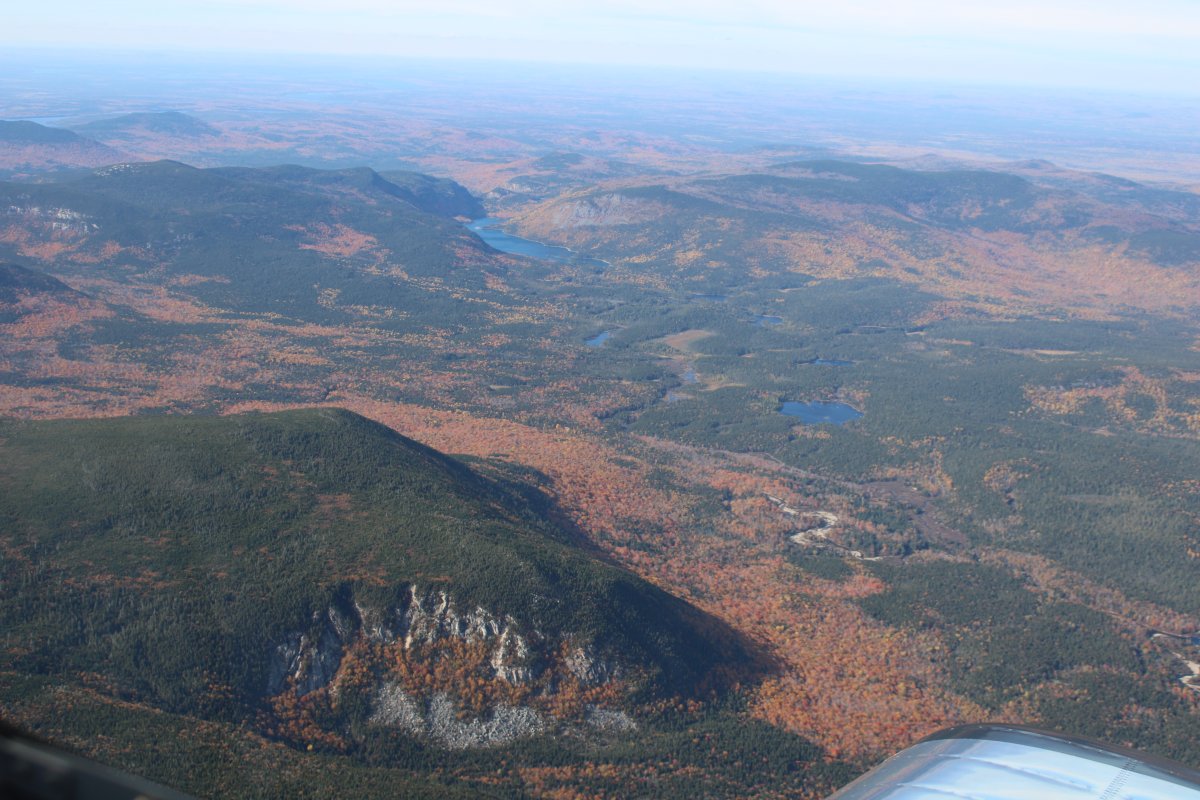
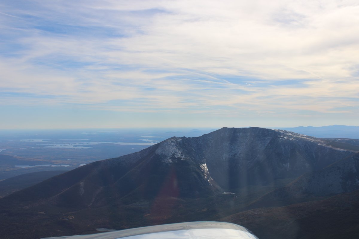
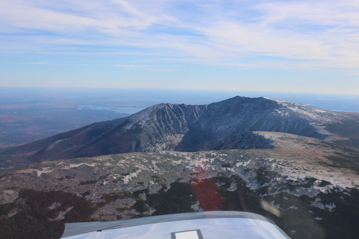
Katahdin is the northern terminus of the Appalachian Trail and is near a stretch known as the Hundred-Mile Wilderness.
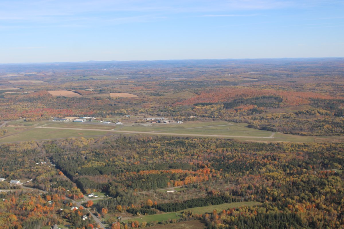
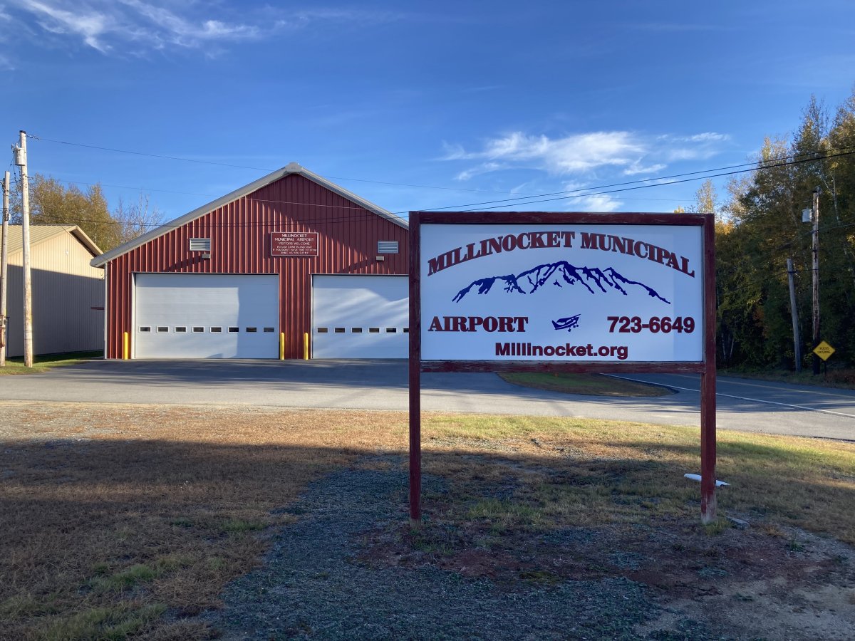
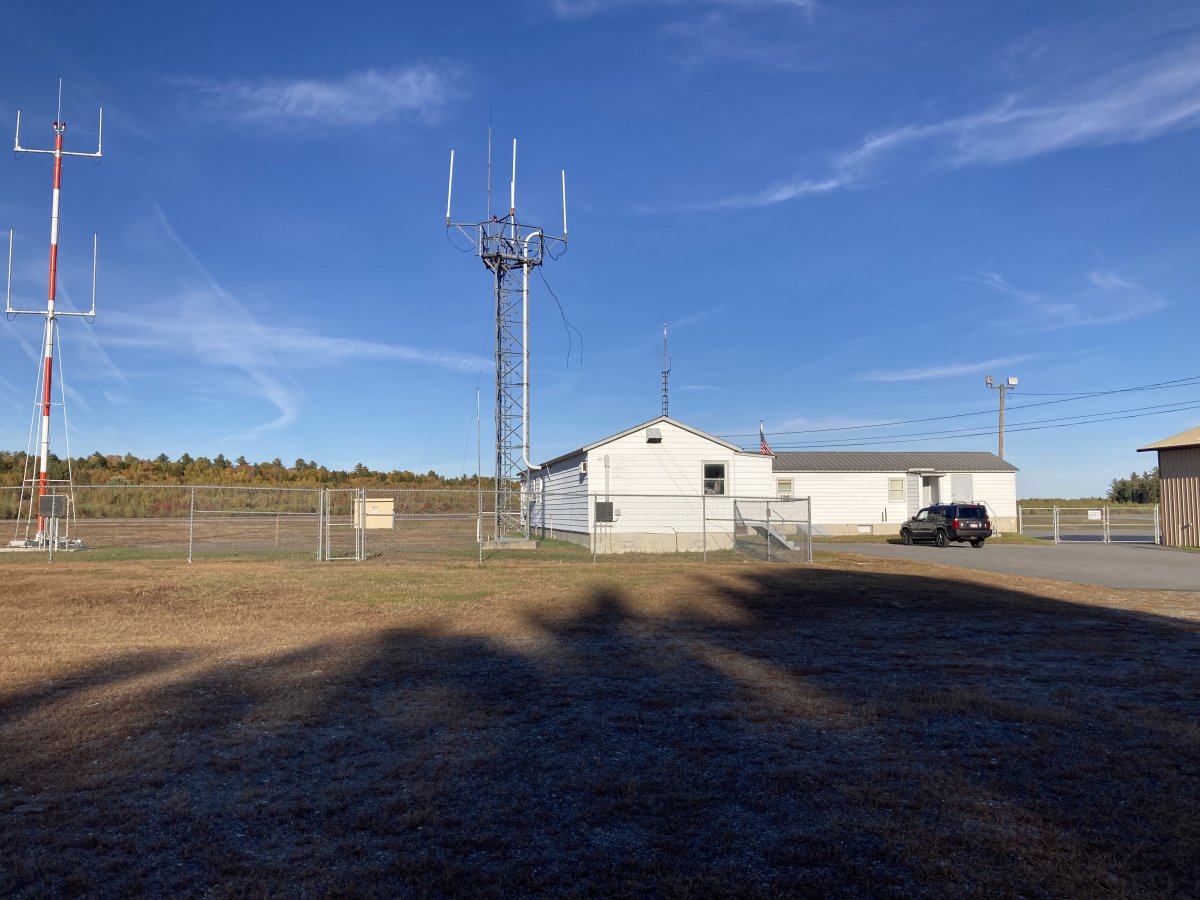
Millinocket Municipal Airport is operated by the Town of Millinocket. Located on 16 Medway Road, the airport has been in existence since the 1930s when it was built by the Civilian Conservation Corps. The airport has two runways, a main terminal, 3 municipally owned hangers, 3 privately owned hangers, and 13 tie-downs.
Millinocket Municipal Airport is located in the heart of the Katahdin Region. This region of the state is known for mile high Mt. Katahdin, Baxter State Park, the Penobscot River, all of which can be enjoyed by pilots and passengers year-round. Activities at the airport include scenic flights, flight training, survey/wildlife flights, skydiving and a model airplane club.
The airport operates from 8 am to 5 pm or later, 7 days a week during the summer. Winter hours are from 8 am to 5 pm Monday through Friday. Millinocket Municipal Airport will have 1 or 2 attendants on duty to serve your needs. Currently, we offer 100LL Avgas, Jet A, aviation oils, filters, pilot supplies and also maps and charts.
Millinocket Municipal Airport has two runways, Runway 11-29 is 4713 feet in length and has pilot controlled lighting. Runway 16-34 is 4007 feet in length and is not plowed in the winter but is accessed by ski aircraft. Services:
Tie Downs
Aviation 100LL Fuel with credit card service
Jet A Fuel
West Branch Aviation Scenic Flights and Flight Instructions
Noyes Enterprise aircraft refurbish and mechanic services
Aircraft engine oil, maps, and vending machines
Jump & Raft Skydiving and Rafting trips
Fly Ins
Truck Pulls
The new Snow blower arrived November 16th, 2020 which replaces a 1994 snow blower. The funding came from a Federal Aviation Administration Grant.
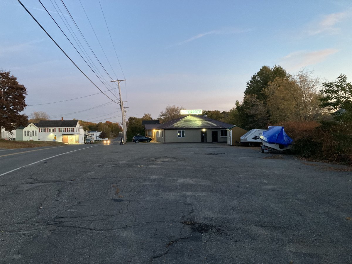
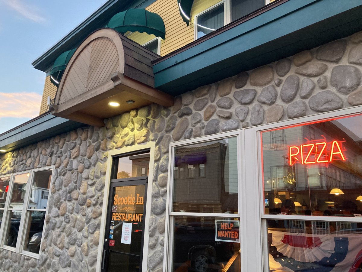
I had a nice bacon cheeseburger at the Scottic In Restaurant.
So ends a very fun and eventful day.